“The Abolitionist Landscape Project” by School of Architecture faculty Jeffrey Hogrefe
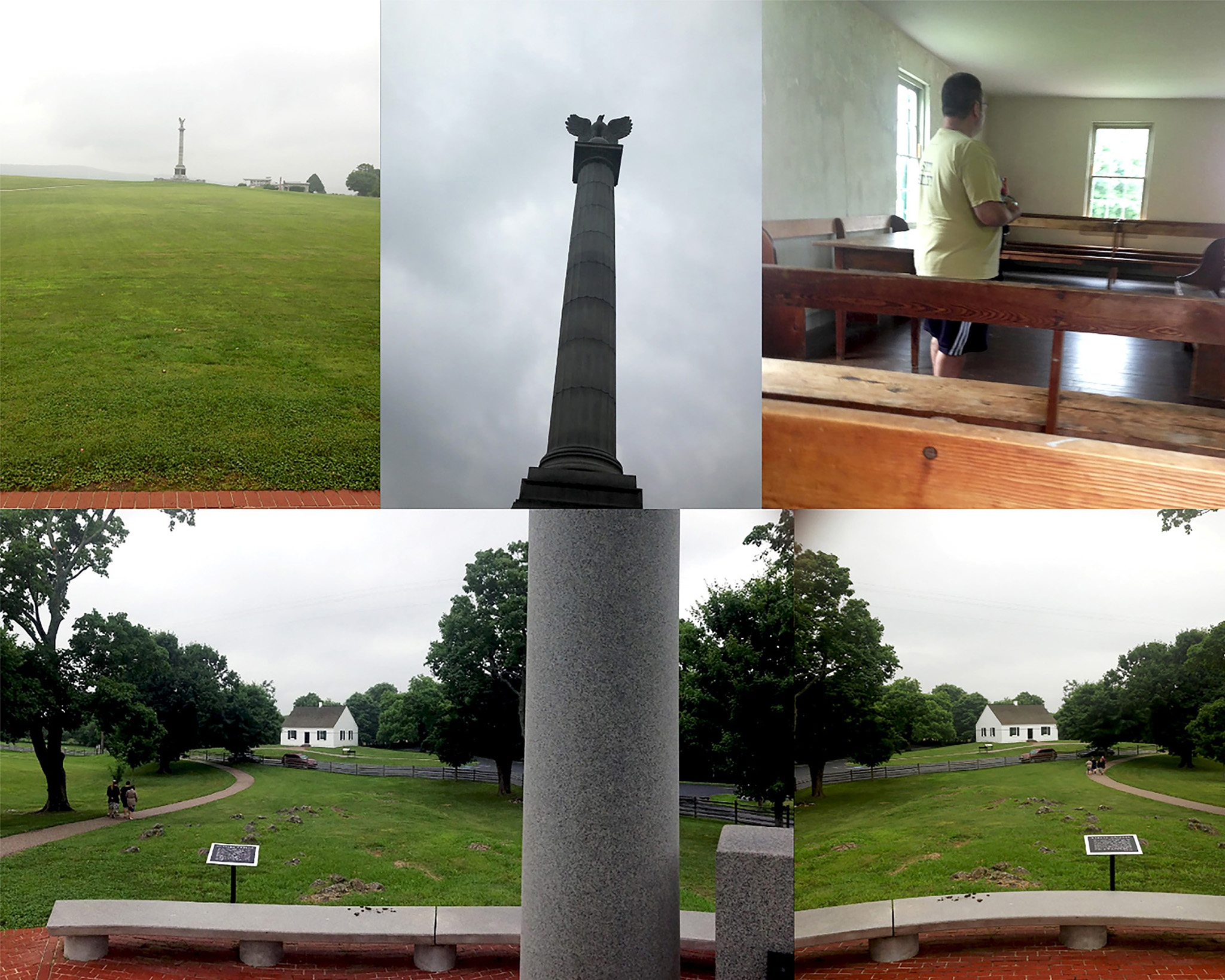
appears in the current issue of Future Anterior, a Columbia GSAPP peer review journal. “The Abolitionist Landscape” is a geographic, geological, and social construction in the uplands of the states of Maryland, West Virginia, Virginia, and Pennsylvania, where the events of the Indigenous diaspora and abolition of slavery played out on a big stage in the years leading up to the U.S. Civil War. In this contested border, the U.S. National Park Service maintains two monuments: Harpers Ferry National Monument, the site of John Brown’s revolutionary act of 1859; Antietam National Battlefield, the site of the 1862 battle that led to the Emancipation Proclamation of January 1, 1863, which issued freedom to over three million enslaved persons.
The Indigenous and African voices that underlie the monuments and the rivers have been essentially silenced as a result of revisionist histories. This has had the effect of freezing past events in crystalline moments that privilege the Universalist image of the white soldier and white slave owning townspeople in a simulacrum. The paper proposes that the human capacity to monumentalize that is supported by capital formations in the battlefields and historic towns of the Civil War can be acted on and against by the human capacity to locate interpretive practices that focus on the landscape as the singular origin of all meanings and walkers as co-creators of the landscape. A slow movement in, through and around the monuments locates, through sense-based walking practices in Afrosurrealism, an archive of historical documents, maps, and critical ethnography in response to the white supremacist historic preservation by the U.S. National Park Service. The presentation of the events, objects and processional experiences proposes a utopian future which repositions Blackness and Indigeneity as central to the landscape of the U.S.