The NYC Economic Development Corporation (EDC) proposes to modernize the Brooklyn Marine Terminal by creating new housing, commercial and public spaces, and economic opportunities in Red Hook. But as the city rushes to fast-track review processes and break ground, advocates have called for greater community input.
With this context as a backdrop, four studio courses from the School of Architecture—two graduate and two undergraduate—worked with community members and advocacy groups over the course of the fall semester to explore alternative visions for the Brooklyn Marine Terminal (BMT). Their proposals paint a picture of a more resilient Red Hook, with a maritime-focused proposal where housing remains affordable, transit systems are better connected, climate risks are addressed, and local commerce reflects community needs. As the EDC plan continues to evolve, these student-led ideas provide a compelling framework for what community-centered development can look like.
“The Fall 2025 BMT ‘Superstudio’ represents a culmination of one decade of Delta Cities and other partnered studio work, an all-hands-on-deck response to emerging and fast developing community needs and development proposals,” said Leonel Lima Ponce, academic director of Sustainable Environmental Systems (SES).
He explained that “student projects complement each other across classes, build off current and historic grassroots visions, and extrapolate cohesive alternatives that center lasting climate and livability considerations. But the presence of an ongoing environmental review process and urgent community input deadlines also required an adaptive process, whereby students provided direct community technical assistance, including a City Environmental Quality Review workshop with community partners.”
Resilient Communities

Two of the Brooklyn Marine Terminal studios were part of Pratt’s Delta Cities Coastal Resilience (DCCR) Advanced Studio, which grew out of the post-Superstorm Sandy initiative RAMP (Recover, Adapt, Mitigate, and Plan), a cross-disciplinary effort launched in 2013 to support community-led recovery and resilience in New York City. The superstudio continued the legacy of RAMP in its interdisciplinary approach and, with the contributions of two other classes—an undergraduate studio examining housing from the perspective of socioeconomic and physical sustainability and a graduate historic preservation planning studio that considered the value and character of the community and its built fabric—it was able to better propose holistic approaches to resilience.
For the past decade, Delta Cities has addressed the complex challenges associated with adapting to and mitigating the impacts of climate change in waterfront communities in New York City and New Jersey. Over the years, proposals for different communities have ranged from floating housing prototypes and blue-green job training programs to emergency management systems and climate education hubs. Many of these ideas have been incorporated into the real-world advocacy work and planning efforts of partner organizations.
What makes the Delta Cities model distinctive is its integrated studio structure, which brings together graduate students from the SES, Historic Preservation, Urban and Community Planning, and Urban Placemaking and Management programs, along with students from Undergraduate Architecture, in a shared research environment. While each class operates with its own scope and deliverables, they collaborate throughout the semester, allowing students to approach climate resilience and urban development from multiple scales and disciplines, with undergraduate students focusing on design interventions at the architectural level and graduate students exploring broader systems of governance, infrastructure, and environmental justice.
The most recent studios gave students a hands-on look at the complexities of public infrastructure planning in New York City, where economic development, environmental impact, and community needs converge.
To better understand the scope and impact of the proposed Brooklyn Marine Terminal redevelopment, students studied environmental review documents, zoning regulations, and the land use history associated with the site. In keeping with the Graduate Center for Planning and the Environment’s (GCPE) long-standing emphasis on community-centered planning, the studios also coordinated with neighborhood organizations like Resilient Red Hook and advocacy groups like the City Club of New York and aligned their design work with the lived experiences and priorities of local residents.

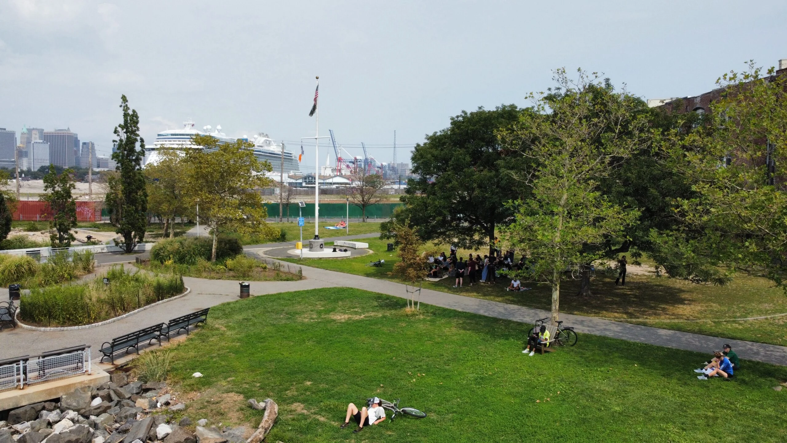
Students visited the neighborhood multiple times for guided tours, public meetings, and interviews with business owners, workers, longtime residents, and advocates. These interactions helped identify community assets, infrastructure vulnerabilities, and areas of opportunity that might otherwise be overlooked.
Students came to understand that Red Hook’s limited public transportation options made commuting for work and leisure difficult, while heavy truck traffic contributed to poor air quality and safety risks for pedestrians. They heard about the inaccessibility of the waterfront, the rising cost of housing, and the persistent threat of flooding, as well as the still-fresh memory of Superstorm Sandy. Residents also shared fears that the EDC proposal could lead to gentrification and displacement.
The students kept these concerns front and center as they devised their alternative visions.
A New Red Hook
Undergraduate Architecture students in the Delta Cities studio worked on actionable proposals for housing, climate resilience, and commercial, educational, and maker spaces.
Usman Saqip and Remy Durrant, both BArch ’26, developed Promenade 66, an integrated flood protection plan that would shield the neighborhood from rising sea levels and severe precipitation events. They also proposed a community center for learning and making near Valentino Park that acts as a gateway.
Flowline by Ivan Petrov and Jack Hanan, both BArch ’26, envisioned a sleek and imposing hall that hovers over the changing waterfront, carving protected space for community use.


Charles Anderson and Melisa Alatas, both BArch ’26, developed a proposal for a “complete community” that would incorporate multigenerational housing into a renewed manufacturing district.
“My partner and I had an amazing experience this semester, coming up with different design solutions to the housing and flood concerns within Red Hook,” Anderson said. “It was an exciting chance to work with community leaders. Delta Cities gave us a great opportunity to hear both the concerns from Red Hook residents and what their needs were. The coordination between the graduate and undergraduate studios gave us an exciting chance to hear feedback and get different points of view that we may not have considered previously.”

Students in the graduate-level Delta Cities studio brought a long-term, citywide perspective to the project, suggesting the creation of five governance and economic models that could work in tandem to support local priorities. These include establishing a Community Land Trust to secure key sites like The Anchor, a proposed community hub, and adjacent rooftops for public benefit, and creating a “1% Fund” that allocates 1 percent of profits from port operators to investments such as New York City Housing Authority (NYCHA) repairs. A Red Hook Port Workers Association would protect labor rights across maritime sectors, while a cooperative workforce center model would allow graduates to share ownership of the training facility and evolve its offerings over time.
To coordinate these systems, the proposal calls for the creation of a dedicated Office of the Port, a governance body with representation from community members, maritime professionals, city agencies, and labor.


The students also envisioned an elevated, three-mile spine along the port’s edge, serving as a flood barrier and planted corridor for safe transportation, green space, and local business. This elevated link would separate pedestrians and cyclists from heavy truck traffic, while beneath it, integrated stormwater systems would capture runoff, reduce sewer overflow, and improve water quality.
Another idea involved a “cloudburst” network that would restore pockets of the area’s historic marshland. These green corridors would absorb excess rainwater during storms, filter pollutants, and offer everyday ecological and recreational benefits for the community.
After presenting their proposals to local stakeholders and incorporating feedback, the graduate students compiled their work into a comprehensive report intended to support future planning and policy decisions. This collaborative process deepened their understanding of equitable development and created a lasting resource for Red Hook residents and advocates.
The Brooklyn Marine Terminal redevelopment may still be in its early phases, but the students’ work shows how community voices can shape the planning process and how planners and designers can be there to facilitate. An exhibition featuring student work in partnership with Resilient Red Hook will be on display at the Compère Collective through Feb 20 and a larger retrospective exhibition in Higgins Hall in April will showcase a decade of Delta Cities studio projects, celebrating how design education can advance climate resilience, equity, and inclusive planning across New York City’s waterfront neighborhoods.
