PARTNER
CUJAE & Plan Maestro
SUMMARY
SAVI and its team of five experts spent two weeks in Havana, Cuba in May and June of 2018 conducting multi-day GIS training workshops for CUJAE, the Jose Antonio Echeverria Technological University of Havana, Cuba’s main architecture school; and Plan Maestro, the planning division of the Office of the Historian of the City of Havana. These groups are performing high-level research and analysis but, until now, have lacked the tools and skills to add both rigor, depth, and efficiency to their work. SAVI introduced all participants to GIS software and provided foundational knowledge of spatial concepts, analysis methods, and cartographic approaches. These workshops were the first step in creating ongoing partnerships and were supported by Pratt Institute and Pratt GCPE.
UNIVERSIDAD TECHNOLOGICA DE LA HABANA JOSE ANTONIO ECHEVERRIA
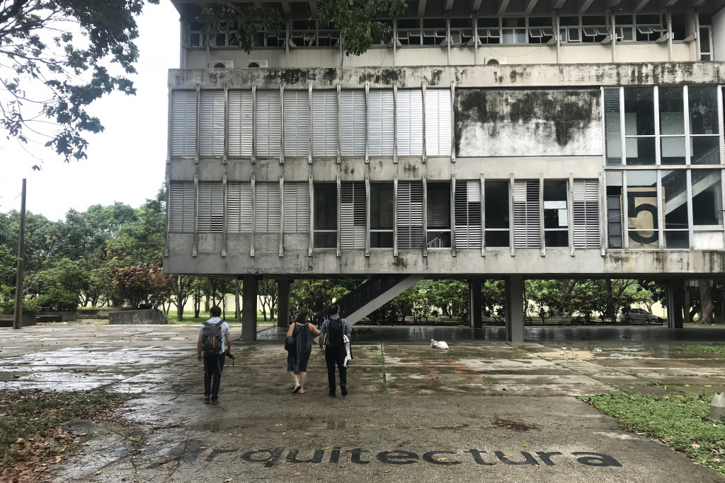
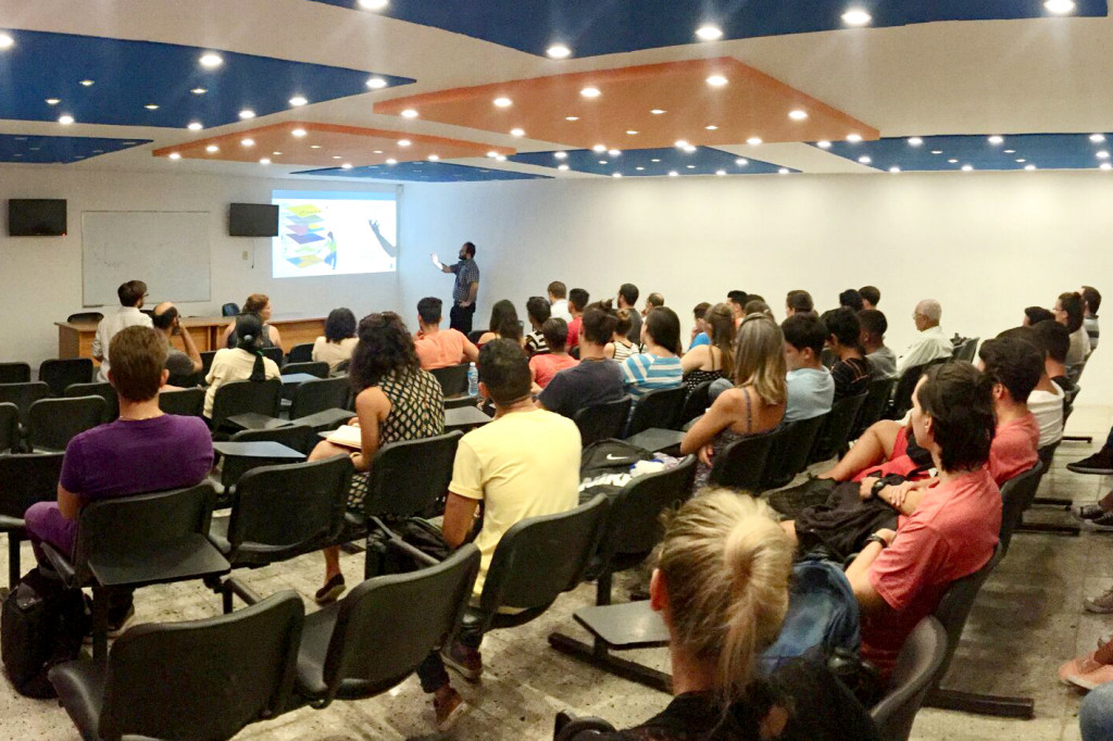
The Jose Antonio Echeverria Technological University of Havana in Cuba offers 12 different degree programs and concentrations within seven schools. The School of Architecture is the largest in Havana.
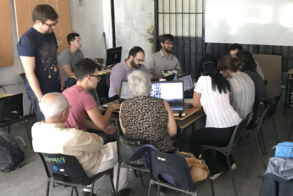
SAVI lectured 50 people from the School of Architecture and several other CUJAE schools, followed by a three and half day hands-on workshop with computers for nine participants from the School of Architecture (and one geophysicist). The participants were mostly faculty, Ph.D. students, and one advanced undergraduate student. They learned what types of analysis are possible, how to create and clean data, how to create maps, and how to perform analysis in GIS. All participants created or gathered data related to their specific research and created maps.
PLAN MAESTRO DE LA OFICINA DEL HISTORIADOR DE LA CIUDAD DE LA HABANA
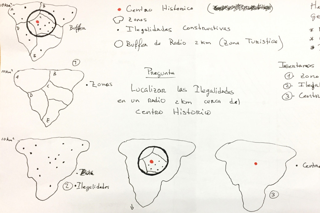
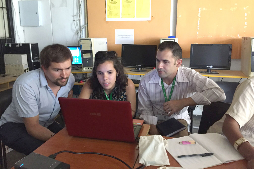
On June 1st, there was one day of preparation, followed by a three-day GIS workshop (June 4-7). There were 23 people in total, including: nine from Plan Maestro; nine from five other heritage cities; three from Planificación Física Municipio Plaza; and one from the Gabinete de Arqueología. Since computers were unavailable for a group this size, the training consisted of presentations and demonstrations. Like CUJAE, the participants learned what types of analysis are possible, how to create and clean data, how to create maps, and how to perform analysis in GIS.
PROJECT TEAM
Jessie Braden (SAVI)
Juan Camilo Osorio (Pratt Institute Graduate Center for Planning and the Environment)
Maria Teresa Ruiz (SAVI)
Eric Brelsford
Alejandro Schwedhelm
YEAR
2018