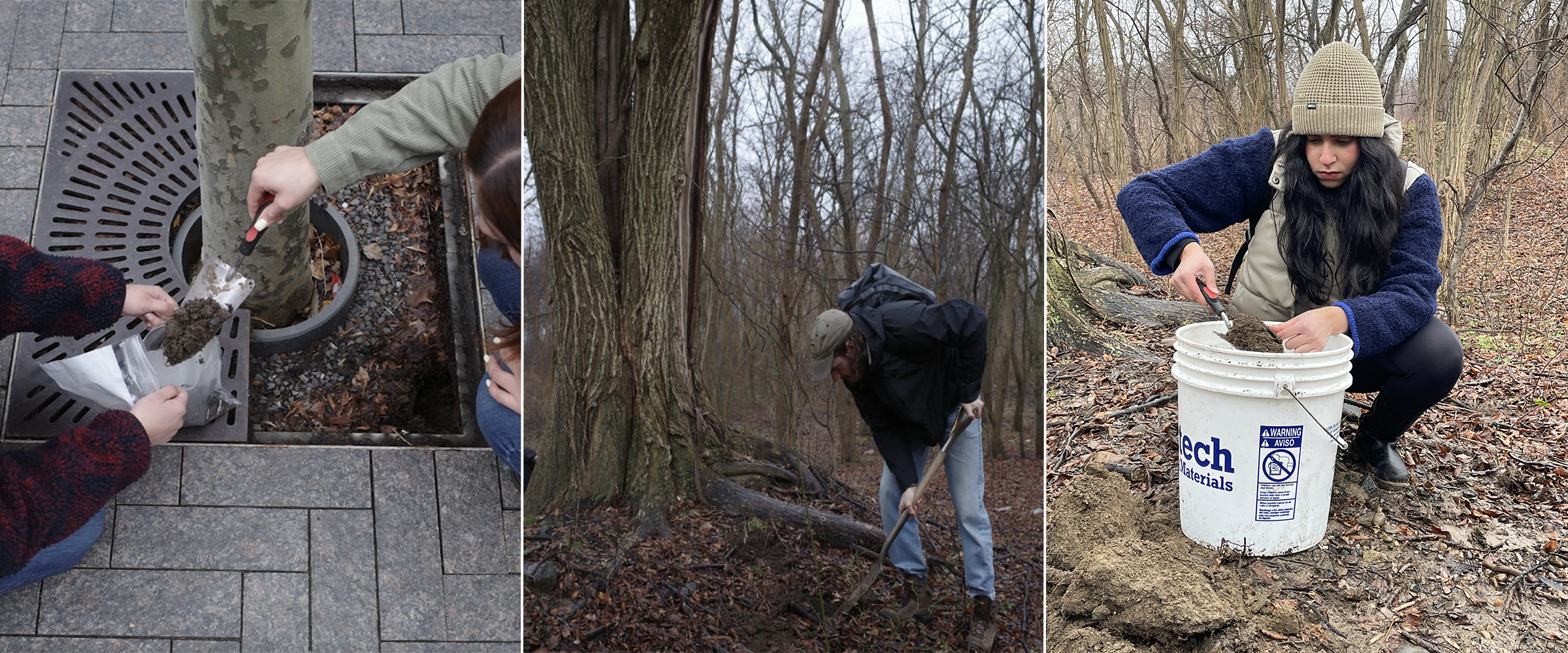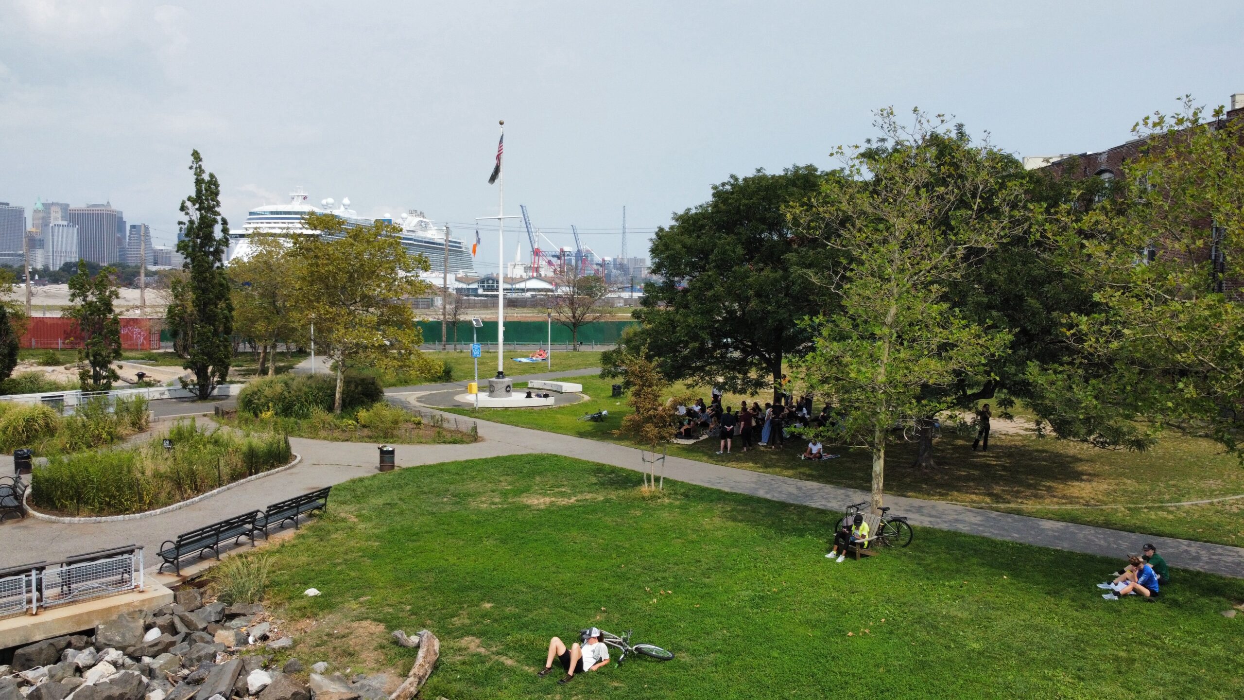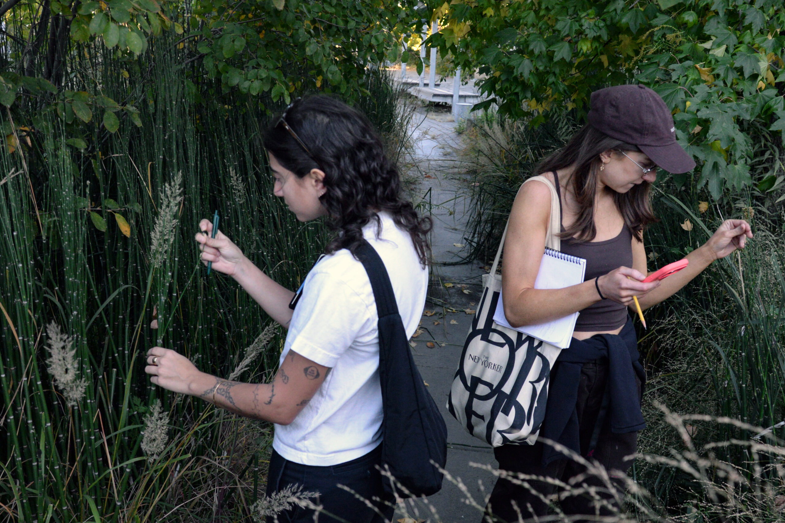
On a recent field visit through Williamsburg and Greenpoint, Master of Landscape Architecture (MLA) students followed the traces of Bushwick Creek, once part of a network of waterways, marshes, and tidal inlets that shaped movement across Brooklyn. Today, the creek is buried beneath concrete and asphalt, but its historic path surfaces when heavy rainfall overwhelms streets, sewers, and transit infrastructure. With climate change bringing stronger and more frequent precipitation events, the need to address flooding in the area has taken on added urgency.
Students are studying this context and exploring climate solutions as part of Land Studio III: Borough in Pratt’s MLA program, which recently received accreditation from the Landscape Architectural Accreditation Board. Combining a research-driven curriculum and close faculty mentorship with immersive fieldwork throughout the New York City bioregion, the program prepares students to design enduring, climate-responsive public landscapes.
“The Master of Landscape of Architecture (MLA) program brings a timely focus on land-based practices to the Pratt Institute School of Architecture,” said Dean of the School of Architecture Quilian Riano. “This focus, anchored in the school’s long legacy of making and civic-minded design, empowers MLA students to engage New York City and its region as a living laboratory to collaboratively create a more resilient public realm. The program’s initial accreditation marks a pivotal milestone that ensures this impactful work will not only continue but deepen in the program and continue to spread to other disciplines in our school.”
MLA Academic Director Elliott Maltby described the accreditation as both a professional benchmark and a recognition of the program’s distinct mission.
“Accreditation is monumental,” Maltby said. “The review process affirmed our current work and reinforced the program’s distinctive, collaborative approach, one that views landscape as kinetic and tactile, grounded in the integration of studio practice and direct experience in the field. Our exhibition of student work brought this pedagogy to life and announced the MLA program’s presence in the School of Architecture. Hearing the site team describe our program as ‘the future of landscape architecture education’ was extraordinary.”
-
![]()
-
![]()
-
![]()
-
![]()
-
![]() Examples of MLA student work
-
![]()
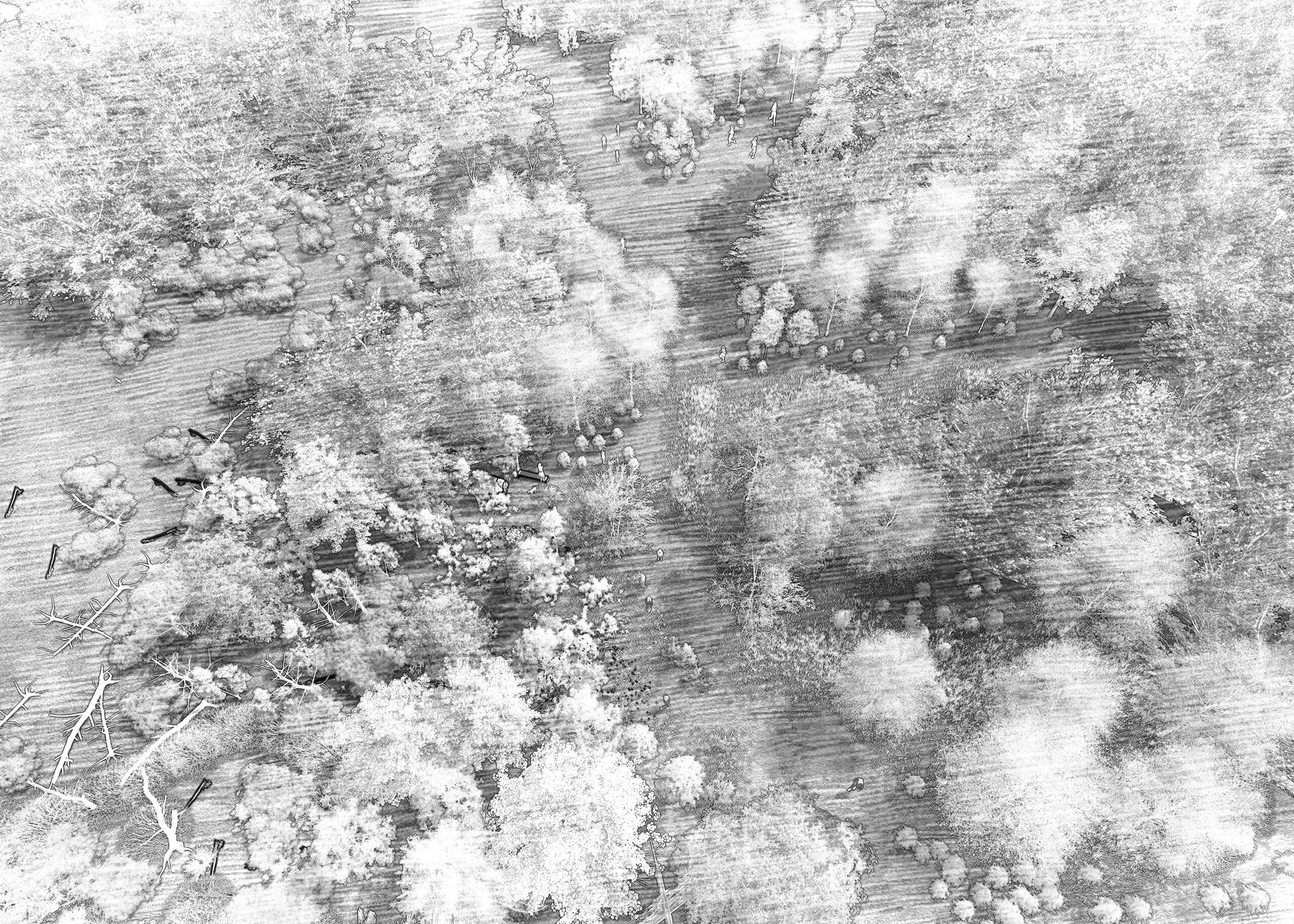
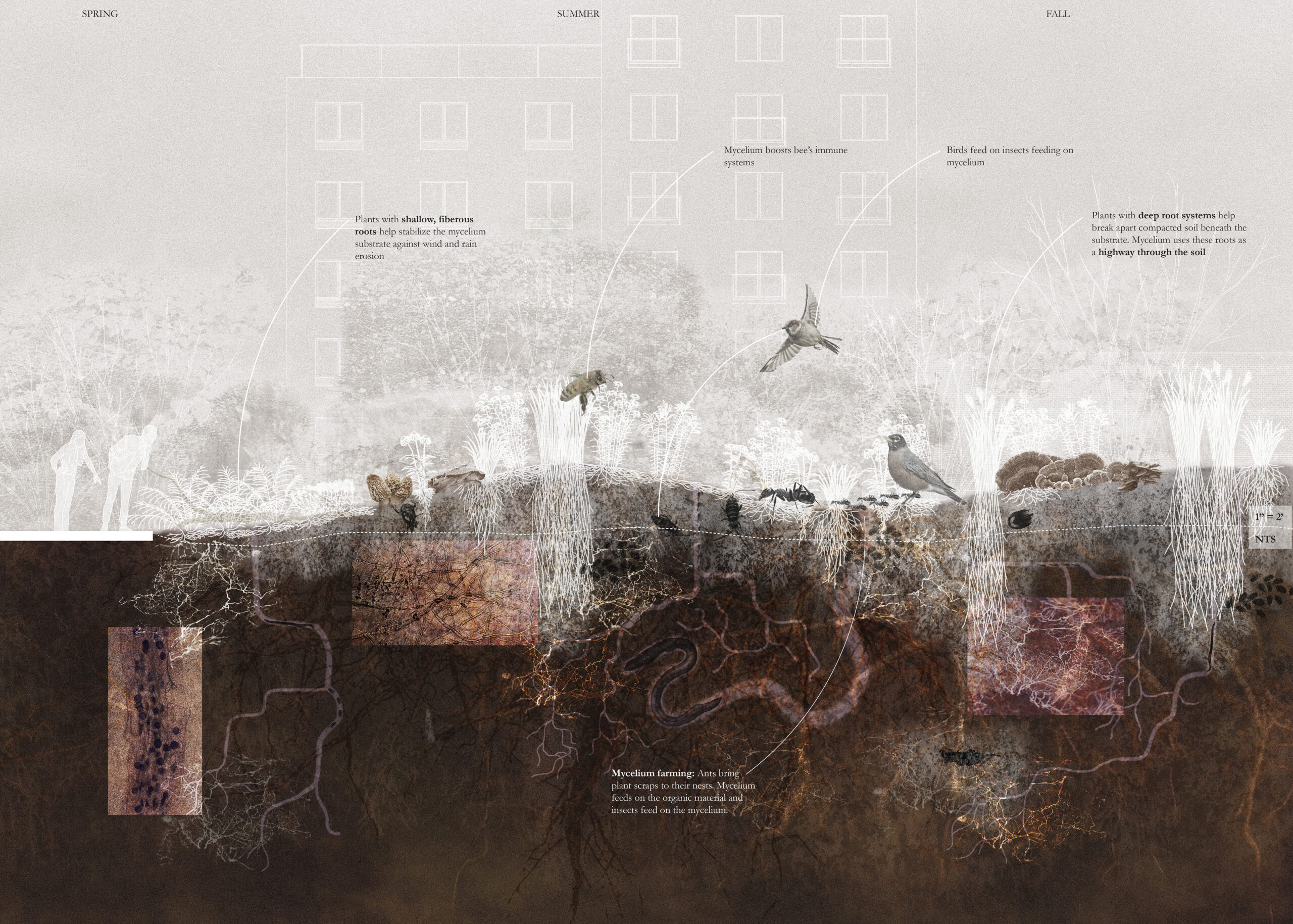
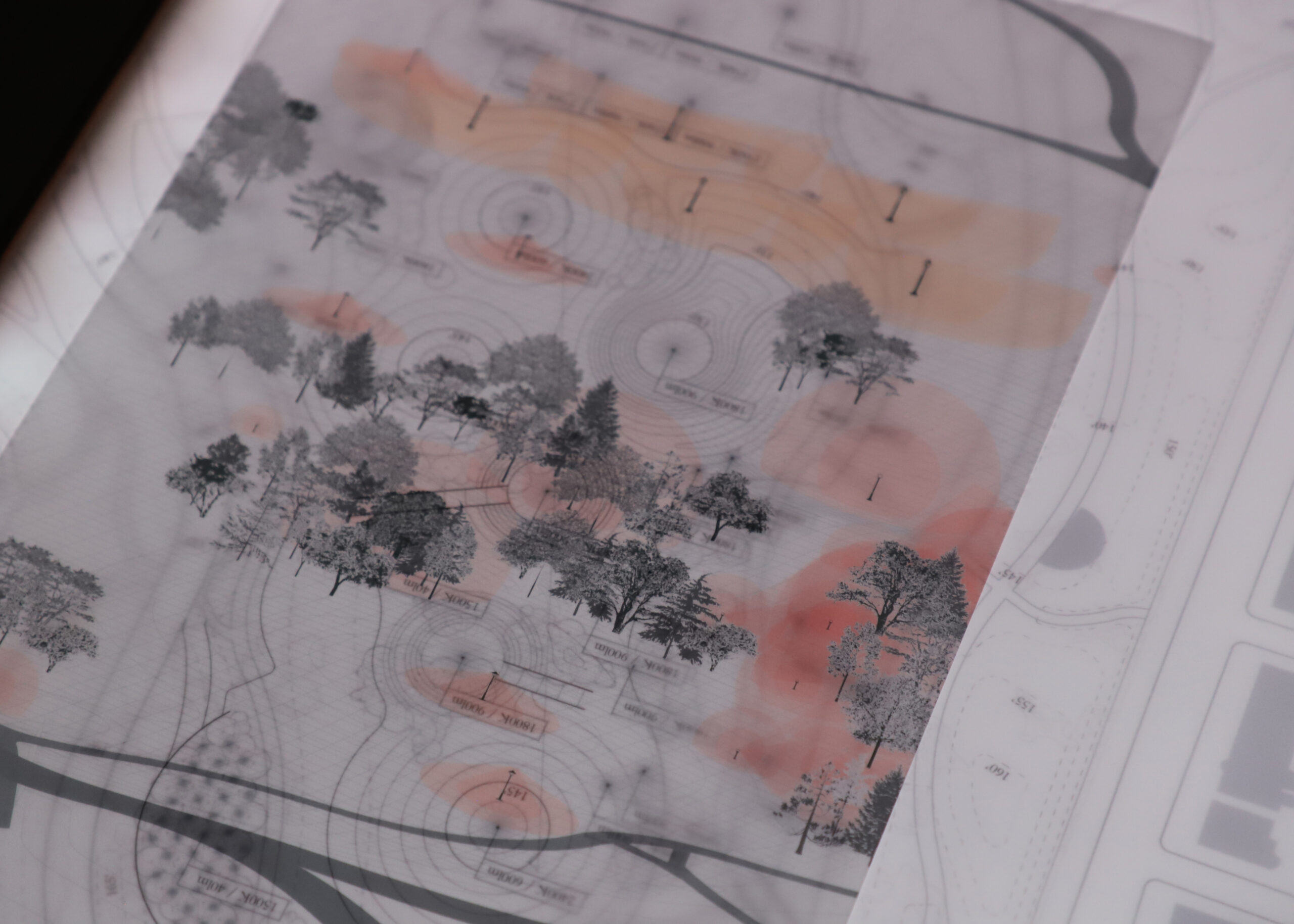
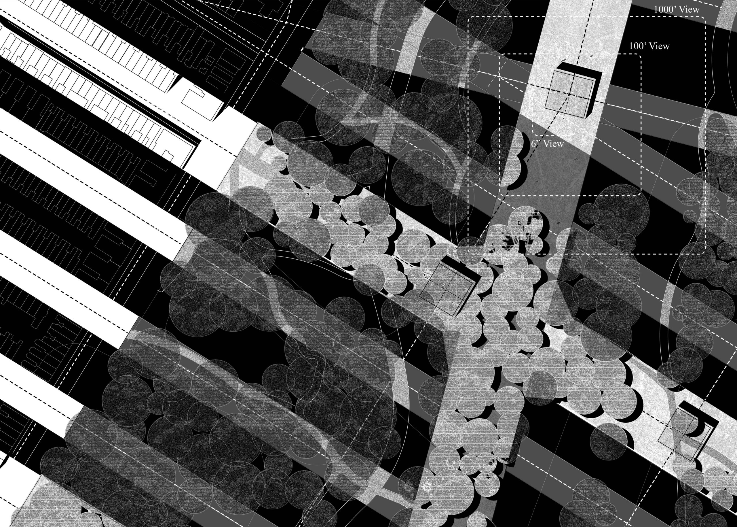
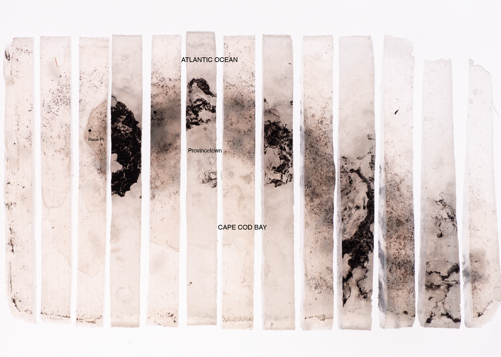
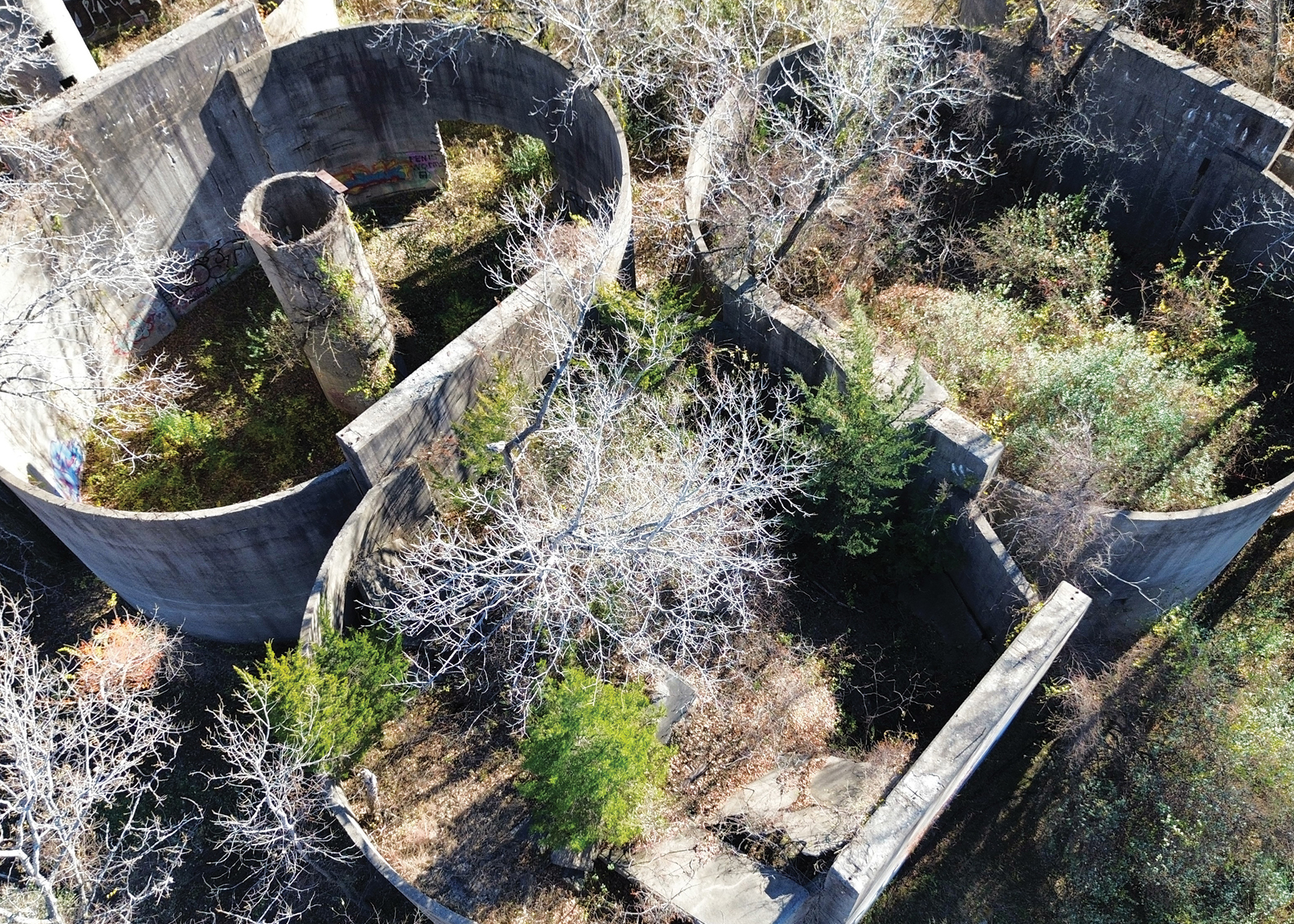
Pratt MLA students move through four core studios that shift in scale and focus: Region, which examines landscape ecology, history, and politics through the Hudson River Valley; Shore, which explores climate-induced changes and large-scale adaptation in the Meadowlands; Borough, which advances ecological assessment while addressing spatial justice in Brooklyn; and Park, which synthesizes prior skills through detailed site and public-space design in Prospect Park.
This year’s Borough studio asks students to apply their analytical and technical skills to the Bushwick Inlet basin.
Developed in collaboration with the New York City Department of Environmental Protection, (DEP) represented by Director of Integrated Water Management, Amy Motzny, who is also a visiting assistant professor in the Graduate Center for Planning and the Environment, and landscape architecture firm Starr Whitehouse, the studio asks how landscape architects can design public spaces that manage stormwater while responding to the environmental, cultural, and social character of a neighborhood.
“It’s pretty special to have these two partners: one in the public sector in city government, and then one in the private sector, as one of the landscape architecture firms actually building these types of projects in New York,” said Melody Stein, visiting assistant professor of Graduate Architecture, Landscape Architecture, and Urban Design. “It signals how the MLA program can continue to develop, through celebrating the fact that we’re based in New York, that there is so much brilliant thinking inside our city agencies, and that students get to have an inside perspective on that.”
Within the studio, students work through three cumulative modules—Trace, Negotiate, and Daylight—moving from watershed analysis to urban strategy and, finally, site-scale design.
In Trace, students reconstruct the Bushwick Inlet watershed using historical hydrology, topography, soil conditions, land ownership, sewer geography, contemporary flow paths, and flood exposure. Working in teams, they build a shared geospatial library and establish a collective evidence base for the semester. Fieldwork allows them to compare archival information with what they observe on the ground.
The area offers a particularly complex case study, encompassing the Brooklyn-Queens Expressway, multiple train lines, McCarren Park, the Lorimer Street subway station, industrial sites, and areas with histories of contamination, including the Newtown Creek Superfund site. Williamsburg and Greenpoint also contain layers of environmental history and community organizing, including protests against proposed incinerators and movements led by diverse neighborhood groups.
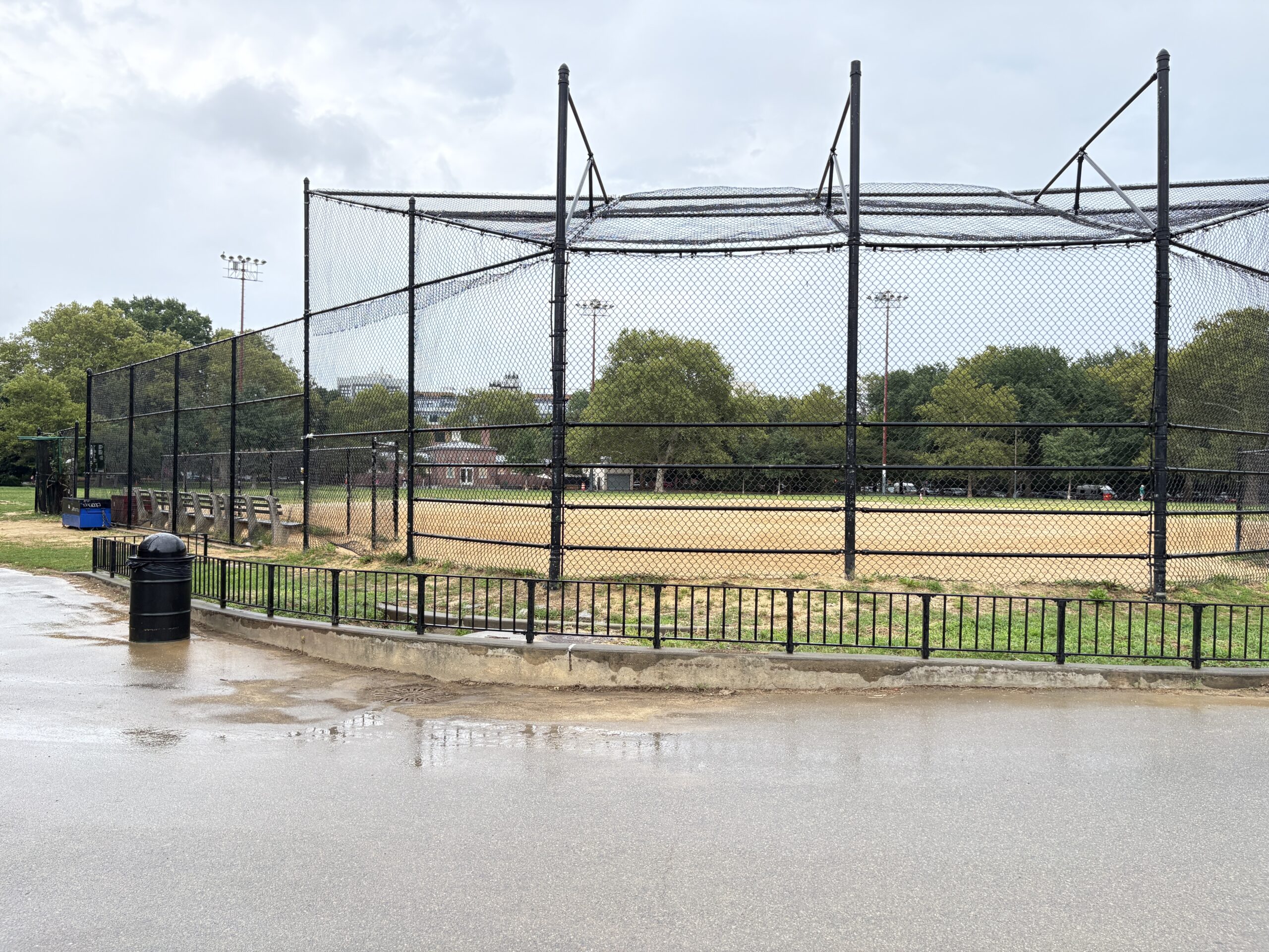
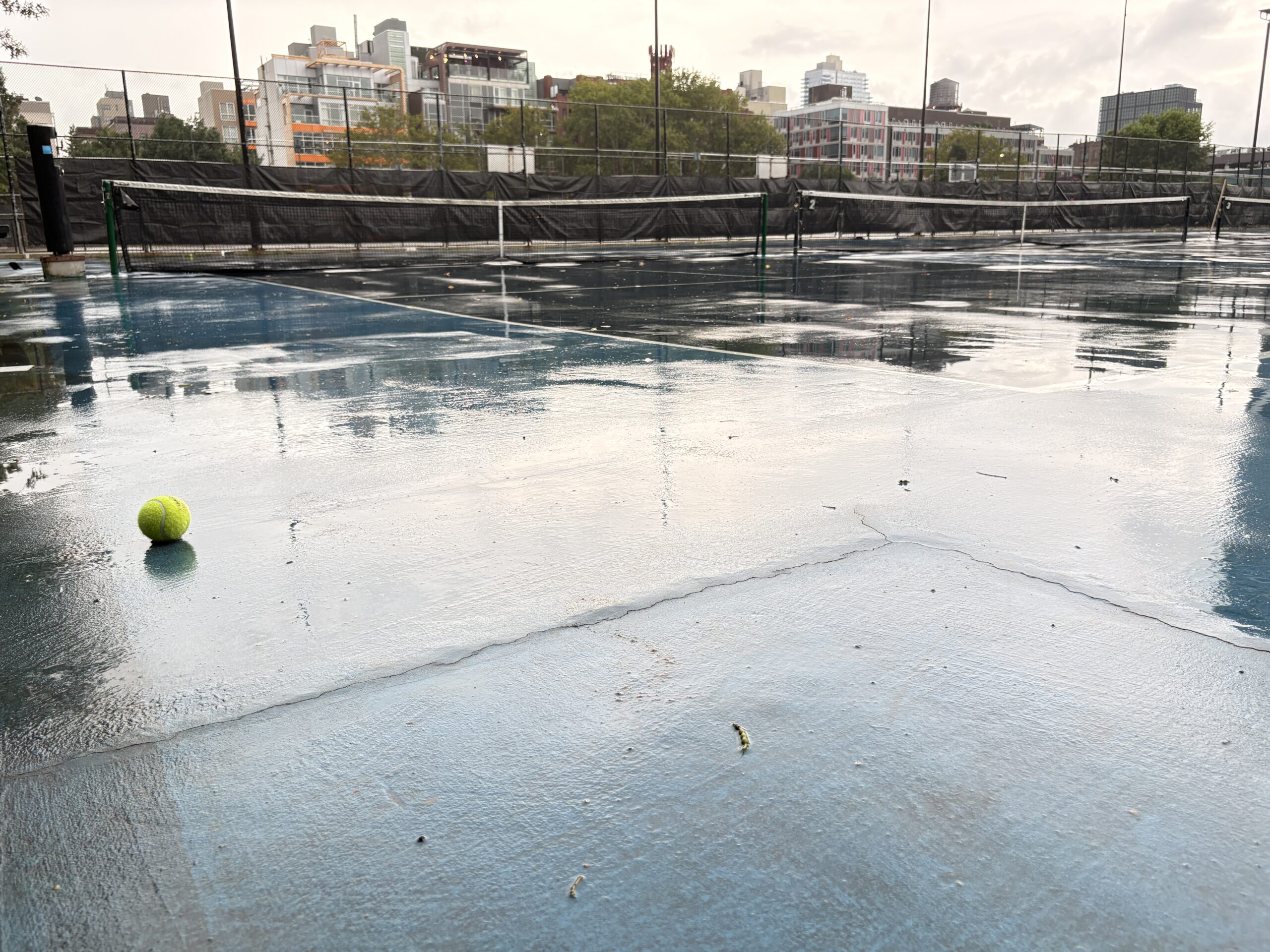
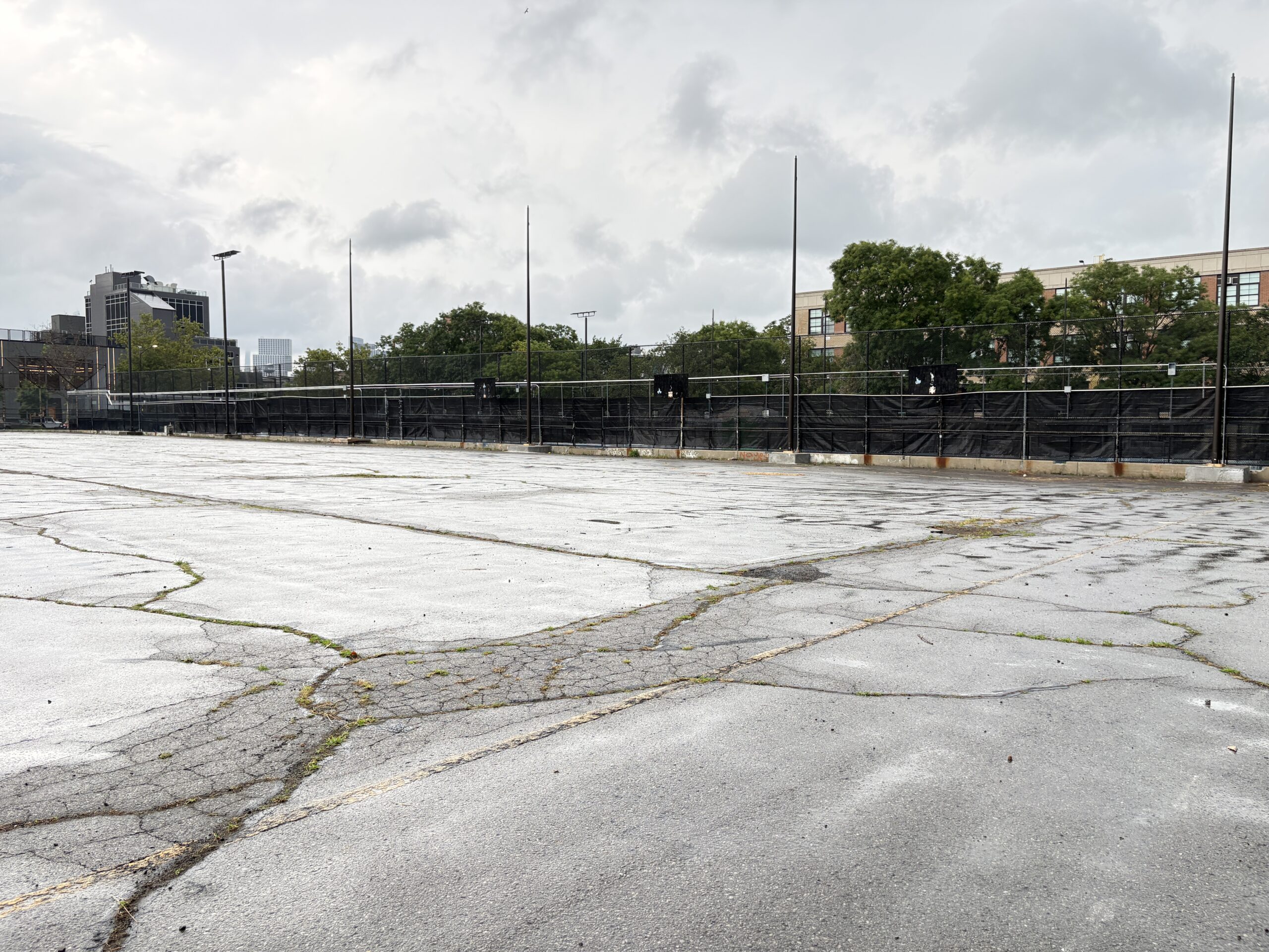
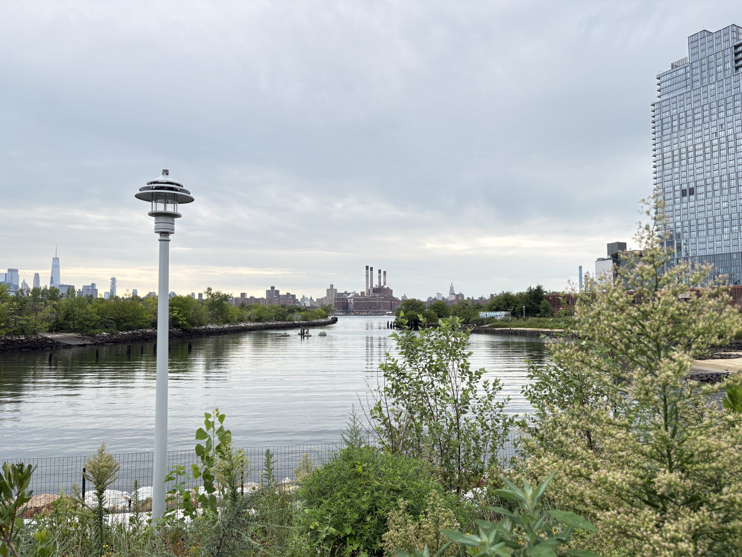
“When you start digging into it, you see all of this incredible history,” said Stein. “It’s actually quite a complex site, and I really want students to take away that, in a sense, this is every site for a landscape architect. You have a client who wants a certain program, and then it’s your job to not take that at face value, but to uncover what makes that specific place interesting, as well as the challenges and opportunities that emerge from its history and context.”
In the second module, Negotiate, students examine how zoning, infrastructure requirements, agency mandates, and community priorities shape what can be designed. Each student selects an urban rule or policy and translates it into a three-dimensional drawing, showing how a regulation can transform a city block. Students then modify the rule and draw the potential consequences, demonstrating how a small policy change can have significant effects on the ground.
The work is informed by conversations with and study of different city agencies, as well as the studio’s professional partners. Representatives from the DEP and Starr Whitehouse contribute guest presentations, lead neighborhood tours, and offer feedback throughout the semester.
“By collaborating directly with DEP and our partners, Pratt MLA students have a unique opportunity to merge site-specific physical design with systemic environmental issues and advocacy,” Motzny said. “Localized flooding isn’t an isolated incident; it’s a socio-ecological challenge shaped by the entire urban landscape. The studio will support NYC DEP’s advancement of urban watershed planning and invites the next generation of landscape architects to look beyond traditional infrastructure, confront real-world constraints, and innovate what it truly means for New Yorkers to ‘live with water.’”


In the final module, Daylight, students develop site-scale proposals for streets, parks, waterfront edges, and other urban parcels. Their designs may incorporate rain gardens, bioretention systems, permeable pavement, floodable open space, blue-green streets, constructed wetlands, tidal edges, and subsurface storage.
“Students are being asked to do a lot more creative direction than in earlier studios, like finding precedents and references, and developing a graphic style that carries across all of their work,” Stein said, “and also thinking about it from a strategic perspective in terms of narrative and storytelling.”
The appropriate strategy depends on where a site sits within the watershed. Higher areas may intercept water before it accumulates; middle areas may hold and filter it; lower areas may convey or store water arriving from upstream. Students must also consider how each intervention functions during a storm event, through seasonal change, and over the course of a decade.
Their final work will include site plans, storm sequences, detailed drawings, physical models, and a shared vision for how seven project areas might function together as one watershed. The studio also asks them to consider the labor required to maintain living infrastructure. Green infrastructure requires ongoing care, monitoring, planting, and repair, making maintenance and stewardship central parts of the design process rather than afterthoughts.
Seeing the Watershed Up Close

Jenna Lamm, MLA ’27, lives in Greenpoint and is focusing her work on the McCarren Park area, including its ball fields and nearby public spaces. Before coming to Pratt, Lamm worked in accessibility at the City University of New York and trained with Trees New York as a citizen pruner.
“I’m interested in how access shapes our relationship to land, especially in New York, where there is a lot of pressure on limited space,” Lamm said. “I also love working with plants.”
Lamm’s work in the studio has shown her how the area’s former geography continues to shape its present. McCarren Park was built up above the surrounding landscape, contributing to a “bathtub effect” in a nearby low-lying area. The neighborhood was once a salt marsh, and traces of that history appear during heavy rain.
“It basically floods every time there’s a heavy rain event, to varying degrees,” Lamm said. “There’s a serious flooding issue in that area, which essentially returns it to its original marsh condition.”
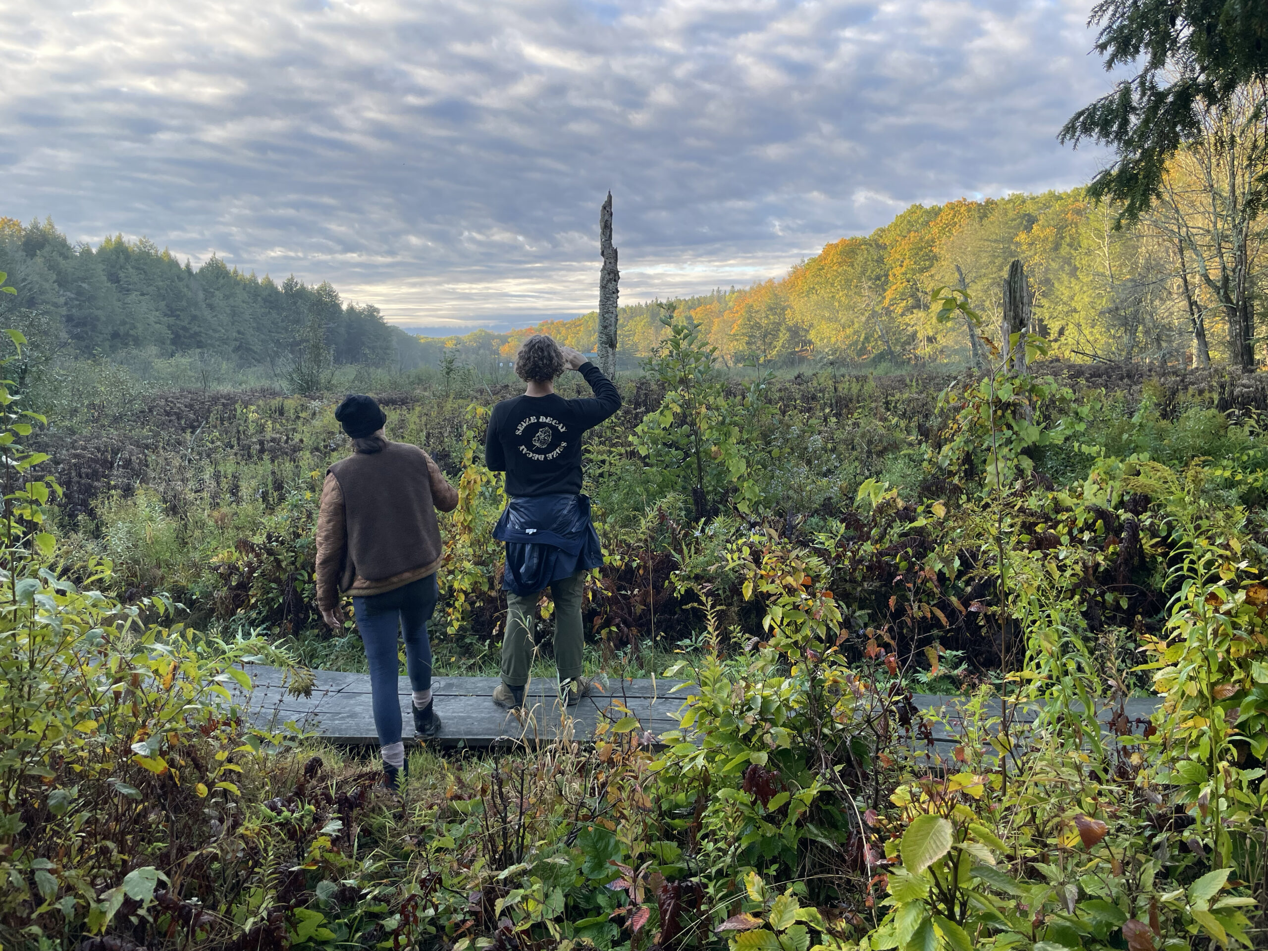
A walk through the Bushwick Creek watershed with Motzny and her team at DEP helped students understand how individual sites fit within the larger hydrological system. Another field visit took them to the Tibbetts Brook Daylighting project in the Bronx, where DEP and Starr Whitehouse are working to restore a buried waterway.
“It was incredible to get to see it before construction,” Lamm said. “It kind of felt like going to the High Line in 2005. There were wild trees everywhere, and you can see where the water could go and will go.”
The visit also demonstrated how long landscape projects can take to develop. Students spoke with Stephanie Ehrlich, executive director and park administrator at Van Cortlandt Park Alliance, and Gail Wittwer-Laird, a principal at Starr Whitehouse, who shared the early sketches she made when advocating for the project in the late 1990s.
In the studio, Lamm has seen how the missions of different agencies shape the design process. DEP prioritizes water quality and the protection of the city’s water supply, while the Department of Parks and Recreation and Department of Transportation bring their own maintenance, infrastructure, and operational concerns.
“It’s really interesting to see how they work with Parks and DOT and have to navigate some of those priorities,” Lamm said. “It’s given me a good sense of how landscape architecture fits into important infrastructure issues that the city is facing.”
That interagency perspective has expanded Lamm’s understanding of the role landscape architects can play. Rather than working only as designers of finished spaces, they can contribute to policy, infrastructure, community engagement, maintenance planning, and public-sector decision-making.
The studio has also helped Lamm connect her interest in accessibility to a broader understanding of landscape.
“Being part of the program has encouraged me to see it much more holistically, beyond simply putting in a ramp, and consider how accessibility intersects with so many different parts of designing a landscape,” she said.
As Pratt’s MLA program continues to evolve, Land Studio III: Borough offers a model for connecting ecological systems to public life. The student proposals bring together the rigor of research, community engagement, and technical design, offering insight into new ways to live with the water already moving through the city.