Toxicity Map
Case Wyse and Can Sucuoglu
Anna Yie, MS Sustainable Environmental Systems ’20
Zack Walker, MS Data Analytics and Visualization ’20
Haley Balcanoff, MS Sustainable Environmental Systems ’20
Spatial Analysis and Visualization Initiative (SAVI), Provost Center
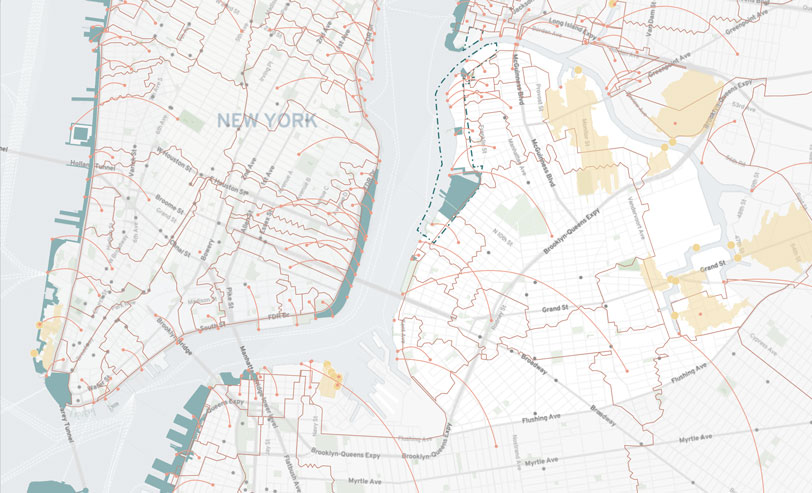
Toxicity Map, also known as the NBN ELI (Environmental Legacy & Improvements) Map, is a tool for learning about and collaborating on environmental hazards in Greenpoint & Williamsburg. Data used to compile this map came from city, state, and federal sources, guided by on-the-ground knowledge from local activists. Data layers on the map can be clicked through to understand certain neighborhood trends, such as population density and asthma- related hospital visits, and can also help locate specific sites, such as the former NuHart Plastics factory and the Exxon oil spill.
To see their project please visit http://northbrooklynneighbors.org/eli/.
*Anthony Buissereth