Pedagogy and Cartography: A Case Study in Rising Water
April 5, 2024 10:30 AM – 12:30 PM
Online
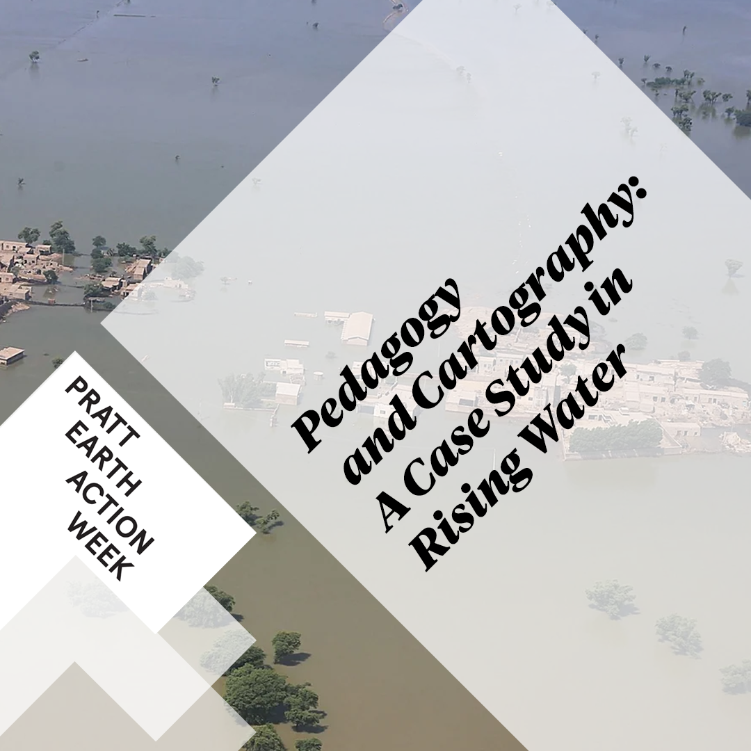
This dialogue will explore the intriguing intersection of landscape, geography, heritage, cartography, and the need to create new visualization techniques. Dr Uzma Rizvi and Professor Mark Heller share their cartographic investigations focusing on the flooding of the Indus river flood bed. Implications are assessed from the city of Qambar to the archaeological site of Mohenjodaro. Professor Heller will explore cartographic pedagogies underpinning tangible environmental realities with different case studies. A key example includes mapping flooding in Qambar using multi-spectral data. Sometimes you need to change the way you’re looking at things (or tap into a different light frequency!).
Dr. Uzma Rizvi from the Anthropology and Urban Studies department will speak to decolonizing archaeology. She speaks specifically towards the use of non-invasive data capture techniques at the M.Lab focused on the ruins at Mohenjo Daro. Her team’s recent work has dealt with the intersection of decolonizing the understanding of the site (like mapping the historical drainage system of the site to reveal patterns of political structure) as well as the environmental impact of the recent 2022 flooding.
After RSVP, access the meeting using this link.